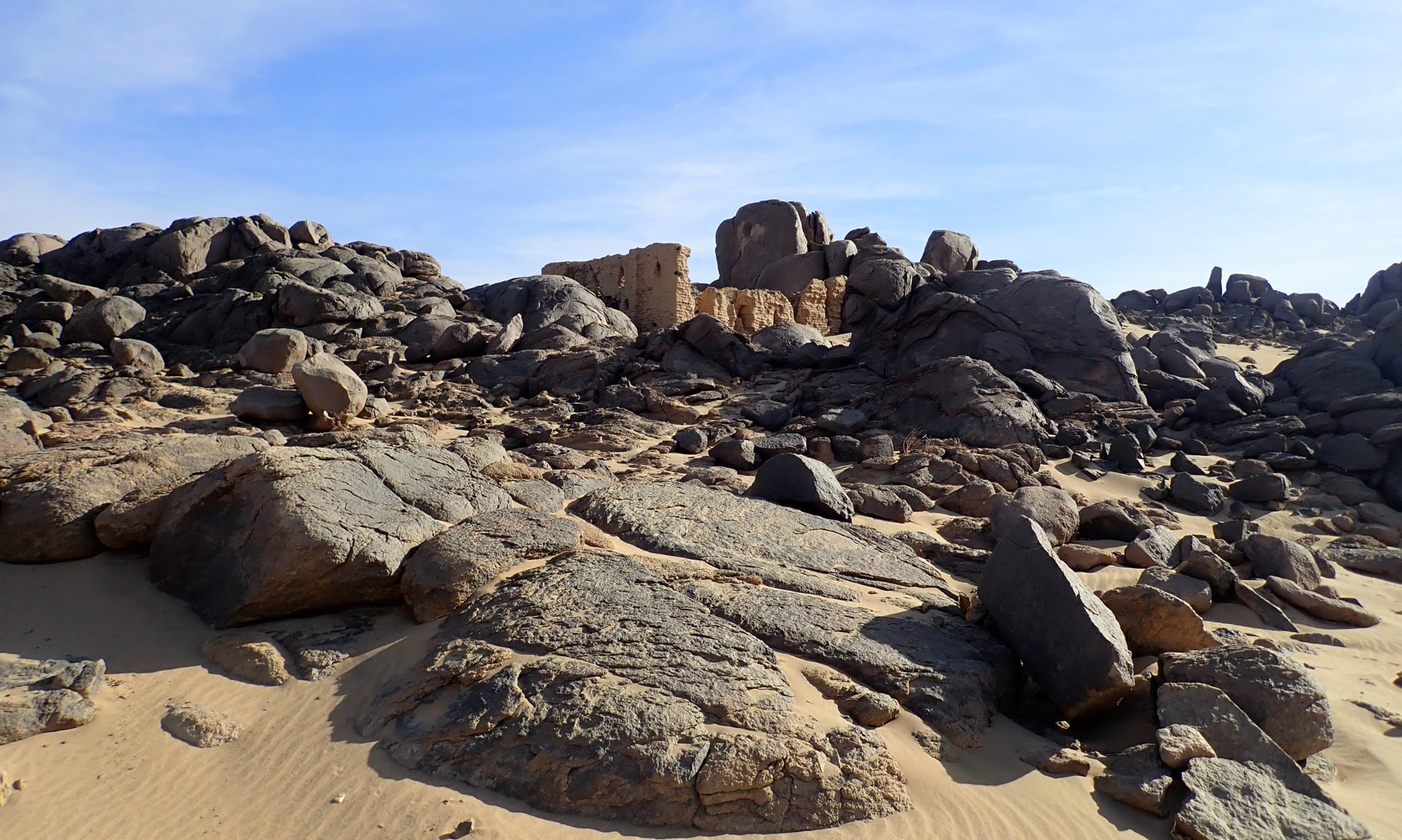
The analysis of the context of the spot at Miseeda (Masida) (site MAS021 on the map below) is crucial for understanding the changing meaning of the image and the place. The area was covered by the survey of David Edwards and Ali Osman between 1991 and 2002 when numerous sites from Neolithic up to modern times were recorded [Osman, Edwards 2011, 66, 331- 333, Fig. 6.10].
The archaeological survey to be conducted during the current project will cover approximately 20 sq km area surrounding the Miseeda church (see the research area on the map below). High-resolution optical satellite imagery will be analyzed at first and subsequently, fieldwalking surveys will be conducted. Known site in the area will be visited as well as new archaeological features are to be expected, especially further away from the river valley and the banks of Wadi Farja.
